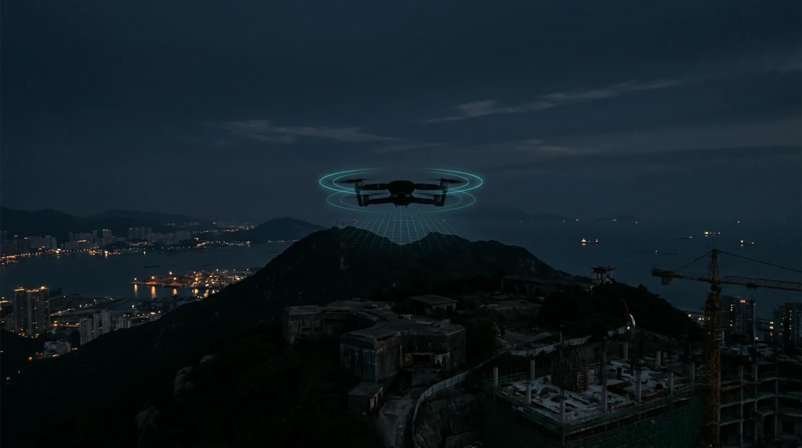
I used to write the software that flew the drones. Now I sell the software that watches them, which is either irony or product-market fit, depending on your mood.
At Skycatch I wrote the Android app that controlled their mapping drones. You drew a boundary on a map, hit go, and the drone flew the site by itself, capturing overlapping imagery the whole way; Skycatch's pipeline turned those photos into 3D models of construction sites. I built that app largely from scratch in a few months. We flew missions over Treasure Island in San Francisco, a former US military base, with authorization, and the drone photographed everything below on its own schedule.
The detail that stuck with me: nobody on the ground ever looked up. We were legal, authorized, and completely invisible to everyone under the flight path. Security guards, construction crews, people walking dogs. A camera platform passed overhead every few minutes and not one person knew.
The rest of my resume is more of the same flavor: self-driving cars for Silicon Valley startups, a Google spinout, last-mile delivery companies, edtech hardware for kids. A decade of building the autonomous machines that people now write worried op-eds about. I know exactly what these systems can see and how little effort it takes to point one at something.
Two things changed since my Skycatch days. First, drones stopped being a specialist tool; a better camera platform than the one I flew professionally now costs a few hundred dollars at Best Buy. Second, and this is the part almost nobody in physical security has internalized, the FAA's Remote ID rule hit full enforcement in 2024. Every registered drone in the US is now legally required to broadcast its position, altitude, velocity, and its pilot's location, unencrypted, over standard Wi-Fi and Bluetooth. The EU is going further and extending the mandate to everything over 100 grams under its 2026 Counter-Drone Action Plan.
It is a genuinely strange situation: a federal rule makes aircraft announce themselves in the clear, to anyone with a $50 receiver, and almost no one is receiving. Airports with seven-figure counter-UAS budgets are listening. Data centers, prisons, stadiums, substations, ports: mostly not. Their cameras point at the fence line. The threat model got a third dimension and the security stack didn't.
So that's DroneID Monitor. A palm-sized sensor on the roof, software that decodes every Remote ID broadcast in range, a live map, a 90-day audit log, and an alert when something crosses your geofence. The whole thing costs less than one PTZ camera.
I'll tell you what it isn't, because the counter-drone industry has a marketing problem and I'd rather not inherit it. It is not a jammer. It will not land, capture, or stop anything. And it cannot see a drone whose operator has switched Remote ID off; that operator is already committing a federal violation before reaching your property line, and catching them takes RF gear from the seven-figure vendors. What Remote ID monitoring catches is the compliant and the careless, which is most of what actually flies over you: the survey outfit that didn't tell you, the hobbyist who doesn't care, the competitor's photographer, the kid with a Mini 4 Pro. Right now you can't see any of them. You should at least have the license plate reader before you price out missile defense.
I spent years flying camera platforms over people who never looked up. The broadcast law finally exists; someone should actually be listening.
If you run a facility and want to know what's already flying over it, book a demo and I'll show you a live map.